


SCHOOL ATLAS
SCHOOL ATLAS
Couldn't load pickup availability
 Worldwide Delivery
 30 Days Easy Return
 Secure Payment
- Author: Wonder Colors Format: Staple Bound


Product Description
Illustrated section on geographical information, astronomical information's, scale, graticules and projection. All Maps Approved by Survey of India. Ideal first reference atlas for young learners, Parents, travelers and teachers of ICSE, CBSE and other state boards as well as educational systems of neighboring countries. The atlas features accurate, up-to-date maps that are accompanied by detailed information about each country, including its capital, population, language, currency, and more. The maps are also color-coded to make it easy for students to differentiate between different types of terrain, such as mountains, rivers, and deserts.
Customers also viewed
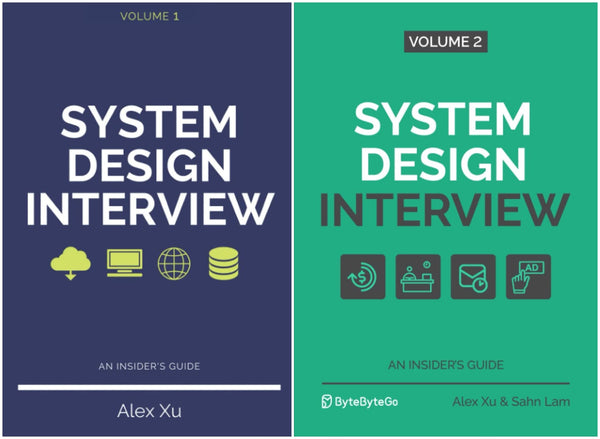
System Design Interview: An Insider’s Guide – 2 Volume Set by Alex Xu

Bratva Bride (Bratva Series)

Combo of Sharadiya Suktara Pujabarshiki 2026 || 1433 & Sharadiya Anandamela Pujabarshiki 2026 || 1433 (Shuktara & Anandamela Sharadiya 1433 (2026))

The Mirror of Infinite Endings: The highly anticipated return to the No. 1 Sunday Times bestselling Once Upon a Broken Heart series and the epic love story of Jacks and Evangeline

Psychology (7th Edition) | Pearson | NEP 2020 Aligned | By Saundra K. Ciccarelli, J. Noland White & Girishwar Misra

New Age Learner’s Concise Odia-English Dictionary Book (Medium Size) | Comprehensive English Translation Dictionary | Student & Competitive Exam Vocabulary Guide Paperback | By B.R. Padhi & P.R. Das

NETZWERK NEU A2 - Textbook + Workbook + Glosser ( Set of 3 Books ) - KURSBUCH + UBUNGSBUCH + GLOSSAR | New Edition 2024

NCERT Textbook for Class-XI & XII | Biology | 2 Books Set | 2025-26 Edition

WHY WERE WOMEN ENSLAVED? Pen Yen Adimaiyanal? (English)

Vogue India Magazine - September - October 2026 - Mika Abdalla + The Vogue Wedding Book

The Liberation of Sita

The Essential Mir

The Critical Thinking Blueprint: A Complete Guide to Master Logic, Overcome Cognitive Biases, and Make Better Decisions

Tenida Samagra

Tarinikhuror Kirtikalap

Ramayanam Volume 2

Psychotic Obsession: Deluxe Edition

Pack of 3 : Saradiya Patrika Pujabarshiki 2026 || 1433 , Saradiya Desh Pujabarshiki 2026 || 1433 & Saradiya Anandabazar Patrika Pujabarshiki 2026 || 1433 (Sharadiya Patrika Collection)

India's Dance Classical and Folk | Baidyanath Prasad
Collections
View all-

Bestselling Books Collection
Explore our top-selling books loved by readers worldwide. This collection features the...
-

Most Ordered
Explore the Most Ordered books at UniversalReads. Featuring top-rated titles across fiction,...
-

Children's Books
Discover the best Children’s Books at UniversalReads. From bedtime stories to early...
-
Arts & Photography
Discover inspiring Arts & Photography books at UniversalReads. From painting guides to...